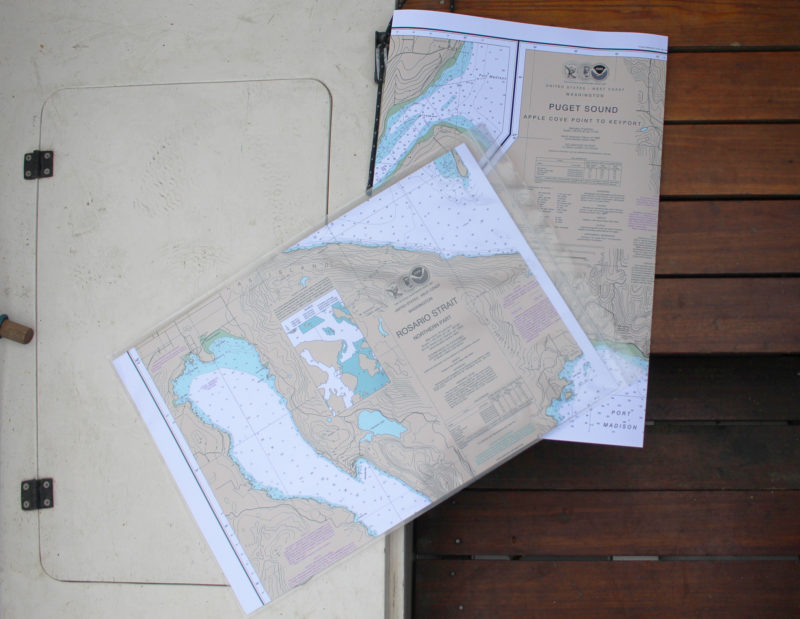
The Small Craft version comes folded to fit a waterproof chart case.Photographs by the author

Frugal Navigator's Small Craft version of NOAA charts comes folded to fit a waterproof chart case.
I still have the charts that my father and grandfather used when they were sailing out of Marblehead, Massachusetts. I don’t use them, of course—they’re over 50 years old and I live on the country’s other coast, 2,500 miles away. I’ve also kept my father’s charts of our local waters on Puget Sound, and every chart I used going up the Inside Passage.While my fondness for old charts may be somewhat sentimental, I still find paper charts useful even though there are some very sophisticated electronic alternatives. If I were traveling the Inside Passage or the Intracoastal Waterway again, electronic charts would have a clear advantage in lower cost and bulk, but my cruising grounds are limited in range, so I don’t need many charts to cover the area. The screen on my handheld GPS is less than half the size of a credit card, and while it can zoom in and out, it can’t give me the big picture and the details all at once in the way that a chart can. And on a sunny day I can rarely see through the glare on the screen.

Read this article now for Free!

Ready for a second free article? Create a free account by entering your email address and a password below.

— OR —

Subscribe now for $29.99 a year and have immediate access to all of our content, including hundreds of small-boat profiles, gear reviews and techniques, adventure stories, and more! You can also browse our entire archive of back issues starting from September 2014, as well as post unlimited classified ads. This is an extraordinary value!